Warsaw (Warszawa) in Poland: Historical Vintage Map Prints and Pictures
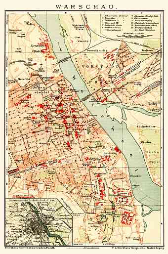
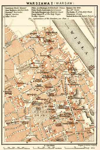
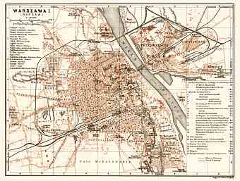
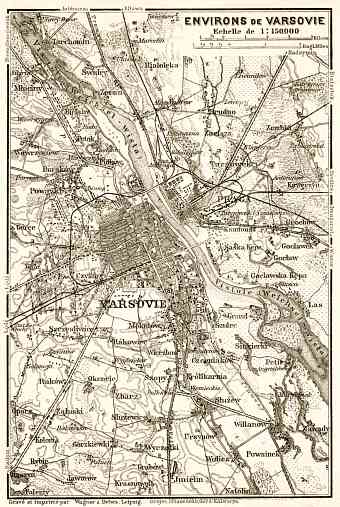
Vintage old maps and plans of Warsaw and its suburbs around year 1900 are offered as fine replica posters, high resolution re-mastered map pictures for download and mobile navigation with various devices. Maps here depict mostly that part of Warsaw’s modern history when it belonged to the Russian Empire. With modern city area of approximately 516.9 square kilometers Warsaw, the capital of Poland sitting on the Vistula River, is located 300 km from the Carpathian Mountains and approximately 260 kilometers away from the Baltic Sea, at the heart of the Masovian Plain. It consists of plains, flat lands and occasional hills with average elevation of about 100 meters above sea level and highest point is 122.1 meters. Warsaw lies on the asymmetrical geomorphologic formation of the Vistula valley and the plain moraine plateau. The Vistula River divides the city into two parts. Warsaw is referred to as one of the greenest cities in the world


