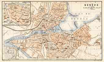
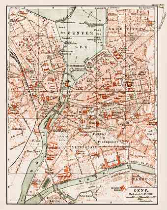
Geneva (Genève, Genf, Genava) in Switzerland: Historical Vintage Map Prints and Pictures
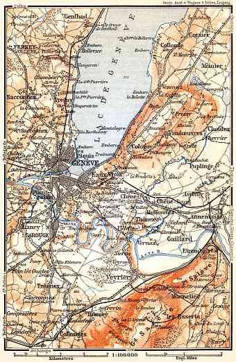
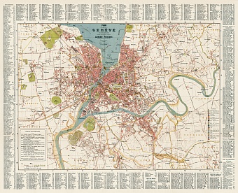
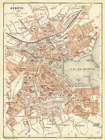
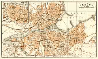
Historical vintage maps of Geneva display this city laying south-west of Switzerland where the Rhône exits Lake Geneva or, as it is referred to in French, lac Léman. It is located between Alps and Jura mountains at an altitude about 373 m above sea level. The French speaking city was the most populated city of the country but since 1870 Zurich surpassed Geneva in population. The city is the center of homonymous Swiss canton of approximately 282 square kilometers. The border of the canton with the rest of the Switzerland is only 4.5 kilometers; its predominant counterpart is France. Territorial isolation of the city has historically been its characteristic feature. The landmark of Geneva is the Pierres du Niton which in fact is the two large rocks that emerged from the lake dating back to the last ice age. Arve River is another major river after Rhône River. Mont Blanc is visible from the city. Old maps allow following development of the street pattern of Geneva through the break of 19 and 20 Centuries

