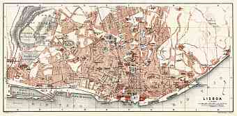
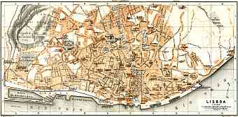
Lisbon (Lisboa) in Portugal: Historical Vintage Map Prints and Pictures
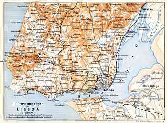
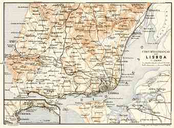
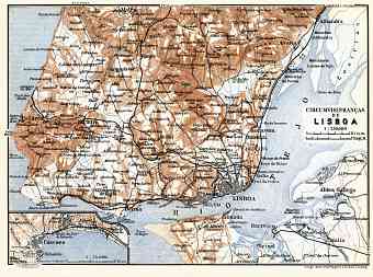
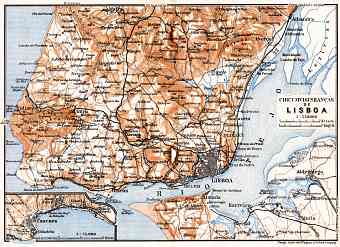
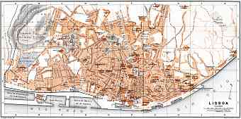
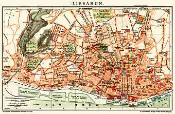
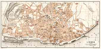
Old historical maps here show Lisbon, the capital of Portugal, which is located in the western Iberian Peninsula on the Atlantic at the mouth of river Tagus making it the westernmost capital city of Europe. It has an area of approximately 85 square kilometers. Vintage maps in this section feature urban development of Lisbon at the break of the 19 and 20 Centuries, although it is important to know that it is proclaimed to be one of the oldest cities in the world. Its borders are roughly defined, hardly by any territorial administration but rather by the city’s landmarks and historical centers. Lisbon comprises of four districts namely; Alfama- is the oldest district of all and is built on the steep hill at the southeastern part of the city, Alcantara- the district is known for its commercial docks, Cidade Baixa- the district was rebuilt after the disastrous earthquake in 1775 and Bairro Alto- this district was built as a result of northward expansion and is characteristic of modern infrastructures. All the districts are distinct with historical infrastructures. The historical monuments, institutions and museums are so diverse that it gives an insight to the city’s cultural diversity

