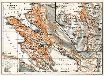
City and Town Maps [40]
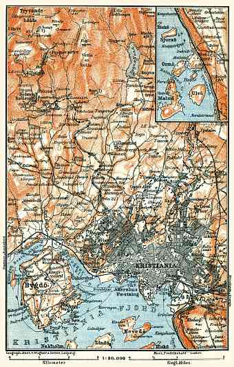
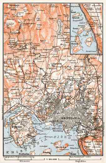
Oslo (Christiania) [10]
Trondheim (Trondhjem) [6]
Region and Overview Maps [66]
Norway: old map prints, fine replica pictures to download or use in the field with GPS
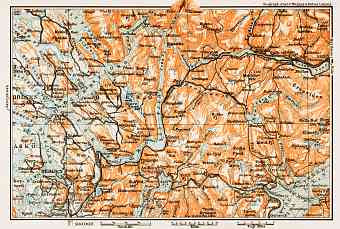
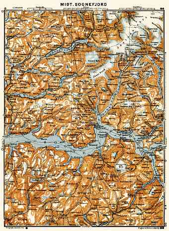
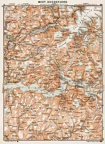
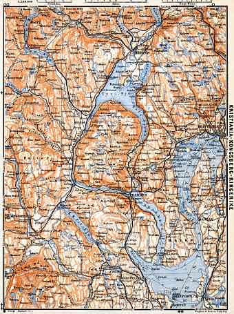
Buy here reproduction poster prints of old maps of Norway in the northern Europe and high-resolution Norwegian provinces’ cartographic pictures for download. Explore and order fine re-mastered replicas of historical old maps of Norway comprising the western part of the Scandinavian Peninsula. Norwegian vintage maps reflect the modern history (early 20th C) of this Scandinavian country with area of approximately 385,000 square kilometers. Norway, as seen on the maps are bordered by Sweden, Finland, Russia, North Sea, Skagerrak, Denmark and its elongated coastlines faces the Barents Sea and North Atlantic Ocean. The country is known for its neutrality during the first and second World Wars. Norway is one of the most mountainous countries in Europe dominated largely by the Scandinavian Mountains and characterized by glaciers and varied topography, historically making the country being a popular skiing destination. The mountains are believed to be one continuous range with the mountains of Ireland, Scotland right up to the Appalachian Mountains of North America before the ancient landmass called Pangaea parted away. Sognefjorden is the second longest and deepest fjord in the world and Hornindalsvatnet is Europe’s deepest lake

