City and Town Maps [240]
Arco and Riva [4]
Bologna [6]
Bolzano (Bozen) [8]
Florence (Firenze) [3]
Genoa (Genova) [7]
Merano (Meran) [7]
Milan (Milano) [9]
Naples (Napoli) [8]
Pisa [5]
Pompei [6]
Rome (Roma) [15]
Turin (Torino) [9]
Venice (Venezia) [9]
Verona [5]
Region and Overview Maps [179]
Florence (Firenze) [2]
Genua (Genova) [7]
Milan (Milano) [1]
Naples (Napoli) [4]
Rome (Roma) [3]
Italy: old map prints, fine replica pictures to download or use in the field with GPS
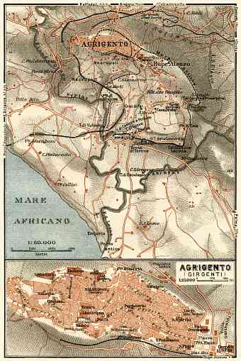
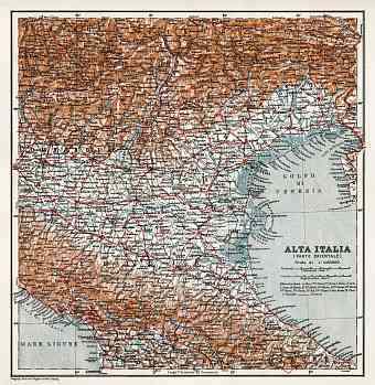
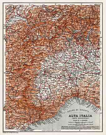
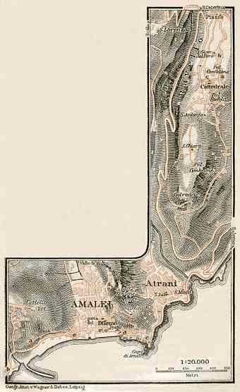
Explore and buy here replicas of historical old maps of Italy of the late 19 C and early 20 C, showing both the entire boot shaped peninsula of southern Europe and the country’s Mediterranean islands (where Sardinia and Sicily are the largest ones) provinces, cities and towns in detail. To the west of the peninsula is the Tyrrhenian Sea and to its east lies the Adriatic. The First World War resulted in territorial additions to the northern part of Italy, which can be witnessed from vintage maps of Trentino and Veneto provinces. Today the mainland Italy is bordered by France, Austria, Switzerland and Slovenia to its north. The Alps constitutes its northern border and Apennine Mountains form the country’s backbone. Its highest point is the Mont Blanc with an elevation of 4,810 m, “shared’ with neighboring France. The Po is the principle and the longest river of Italy that flows from the Alps crossing the Padan plain and making its way to the Adriatic. The peninsulan country is home for five large lakes and fourteen volcanoes out of which four are active namely Etna, Stromboli, Vulcano and Vesuvius

