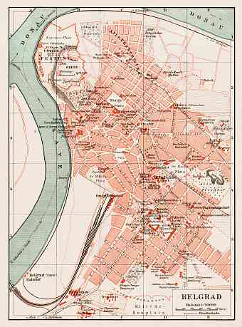
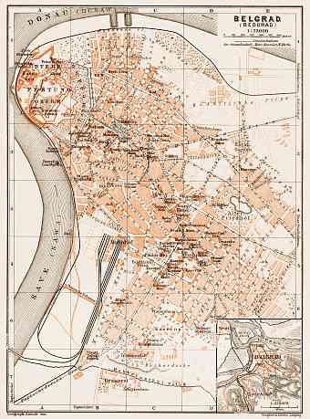
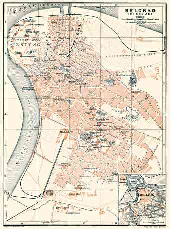
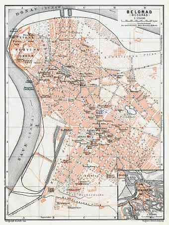
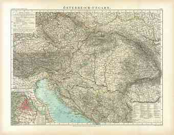
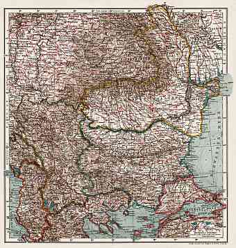
Serbia: old map prints, fine replica pictures to download or use in the field with GPS
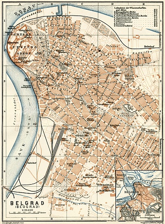
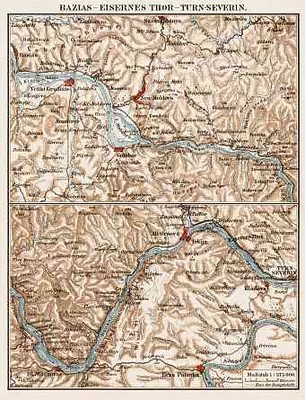
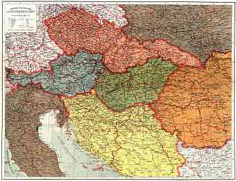
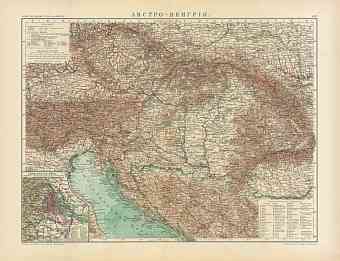
Historical vintage maps of Serbia feature this landlocked country located at the crossroads between Southeast and Central Europe in the Balkans and the Pannonian plains covering the northern third of the country. It shares its borders with Bulgaria, Bosnia-Herzegovina, Croatia, Montenegro, Hungary, Republic of Macedonia, Romania and Albania. Serbian independency from the Ottoman Empire dates back to 1878. Here you can witness and order old maps of Serbia illustrating its modern history through the end of 19th to the first third of the 20th Centuries. The country is relatively small in size with an area of approximately 88,361 square kilometers. Its capital Belgrade is one of the largest cities of eastern-central Europe. Serbia’s prominent landmarks include the Pannonian Plains, the Balkans, the Dinaric Alps, the lowlands and the extending hillside. The highest point is the Midzor peak in the Balkans with an elevation of 2.169 m and the lowest point being Prahovo near Danube River with an elevation of just 17 m

