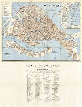
Venice (Venezia) in Italy: Historical Vintage Map Prints and Pictures
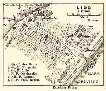
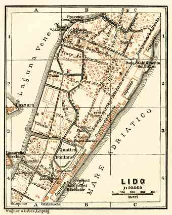
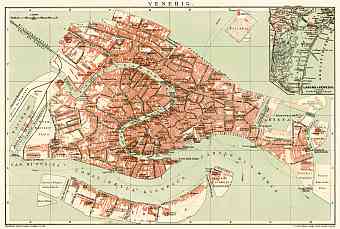
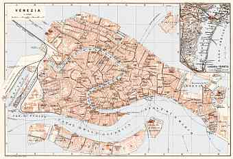
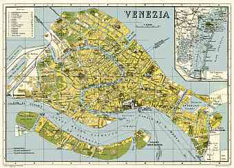
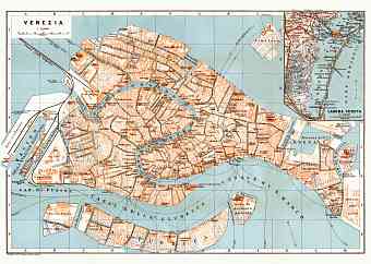
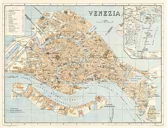
Old vintage maps and plans of Venice, the capital of Veneto region in Italy, are offered here as fine posters, professionally re-mastered map pictures for download and mobile GPS navigation. Venice is historically an island city currently forming an integrated cluster of 118 miniature islands built on wooden pilings set aligned by more than 400 footbridges based in the marshy Venetian Lagoon which stretches along the shoreline between the mouths of Po and Piave Rivers covering an area of 414.6 km2. As seen on maps, displaying the Venice's urban development in the early 20 Century, approximately 160 constructed canals provide transportation routes in and about the city commonly using gondolas and powerboats as a means of transport. Buildings are built on the canals itself barely above water level. The lack of streets but only a narrow walking passage is fascinating and no doubt holds the title for being the oldest tourist destination, serene and a romantic city

