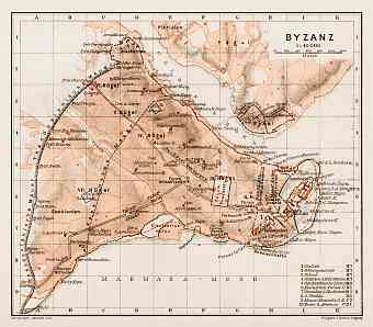
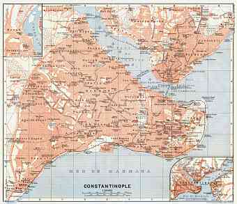
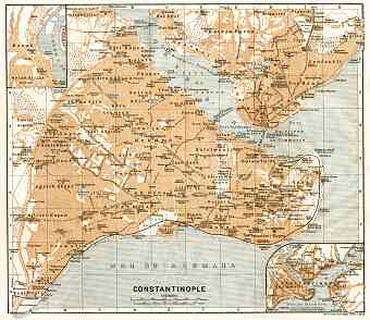
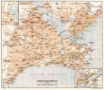
Istanbul (Constantinople) in Turkey: Historical Vintage Map Prints and Pictures
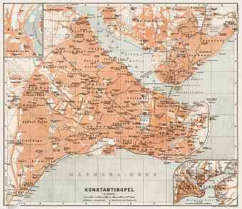
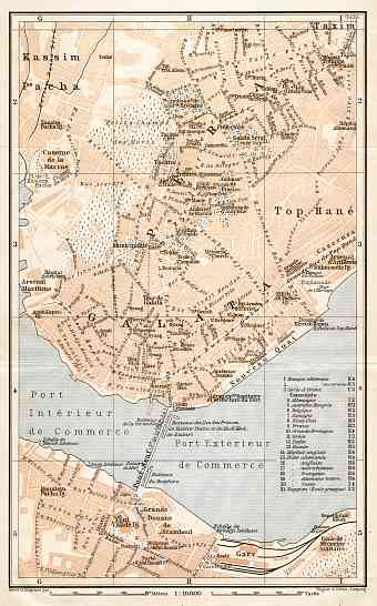
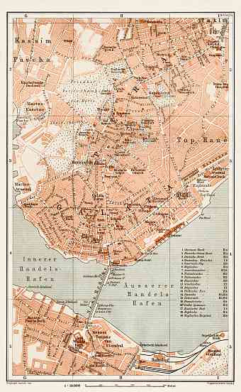
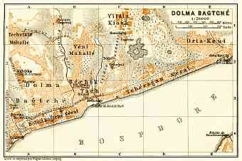
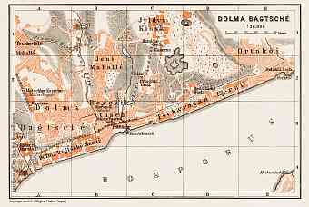
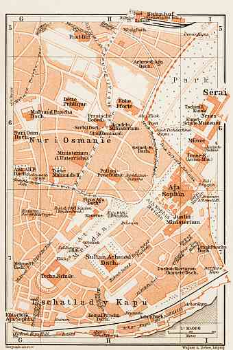
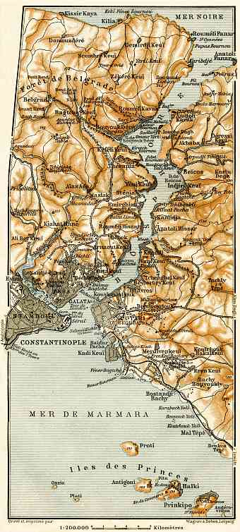
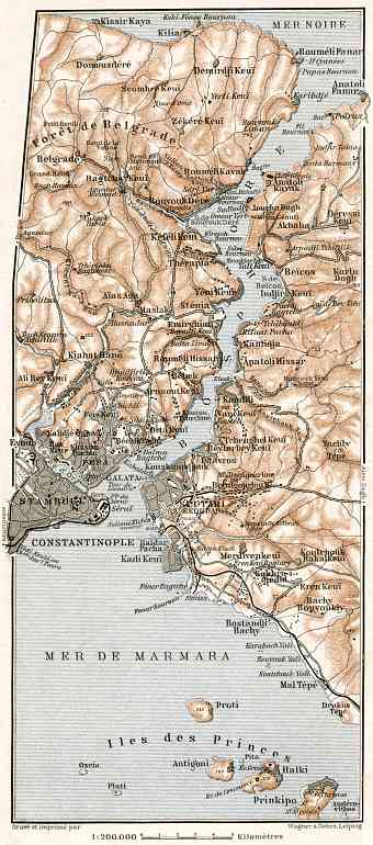
Historical vintage maps feature Istanbul (Constantinople) at the beginning of the 20th Century, with Üsküdar (then Skutari) being a separate municipality on the Asian side of the nowadays' giant metropolis. Istanbul today with an area of 5,343 km2 is the largest city in Turkey, a transcontinental hub with Marmara Sea to its south and Black Sea to its north. The Bosporus, which is also shown in detail on old maps of Istanbul suburbs, connects the two major seas and at the same time divides the city into European (Thracian) and Asian (Anatolian) side. The western part of the city which constitutes the country’s economy and culture lies on the European part of Eurasia and on the Eastern Asian side resides one third of the city’s population. A natural harbor on the peninsula, namely the Golden Horn (Haliç in Turkish) further divides the city. The historic peninsula, very similar to Rome is characterized by the ‘seven hills’ which are adorned and topped with exquisite mosques

