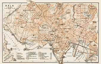
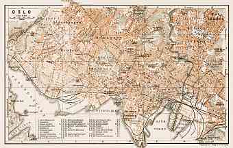
Oslo (Christiania) in Norway: Historical Vintage Map Prints and Pictures
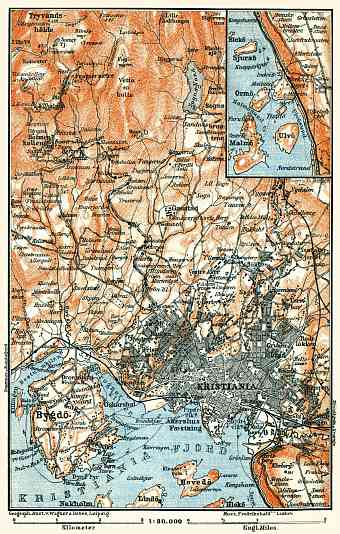
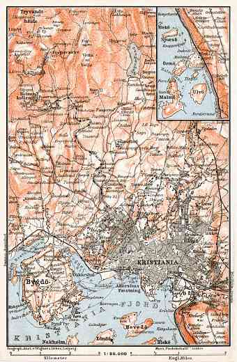
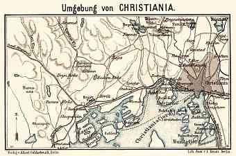
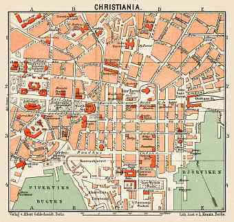
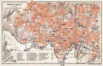
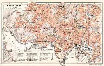
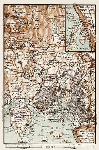
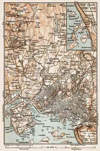
The city of Oslo in Norway reflected on historical old maps as Christiania from 1624 to 1878 and Kristiania from 1878 to 1924 is the largest city and the country’s capital. Oslo is located on the arc of land on the northern end of Oslofjord and so is the home port of the country. Buy here fine replicas of Kristiania (Oslo) vintage maps, the nowadays third largest Scandinavian city, a county and a municipality in itself, with land area of over 450 km². Oslo has a total of 343 lakes and the largest being the Maridalsvannet from which drinking water is obtained. The 40 islands within the city are lush with green hills and mountains. Its highest point is Kirkeberget . None of the rivers from the east flows to Oslo. It has two small rivers of its own Akerselva and Alna. The waterfalls in Akerselva provided electricity to the industries in 1800s. We offer quality reproduction poster prints of Oslo aged maps, high-resolution carographic pictures for download and GPS-enabled navigable historical travel items for PDF Maps mobile application (iOs and Android)

