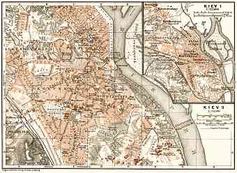
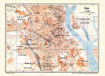
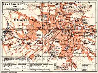
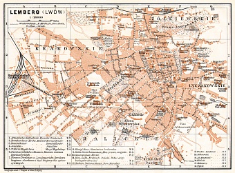
Ukraine: old map prints, fine replica pictures to download or use in the field with GPS
Old vintage maps of Ukraine, its regions and towns are all professionally re-mastered and made available here as fine poster prints of various sizes, high resolution map pictures for download and GPS-enabled historical navigable travel items illustrating the modern history of Ukraine through the late 19 and early 20 Centuries. The country is located in the eastern part of Europe occupying total area of approximately 603,620 square kilometers, therefore is the 2nd
largest country in Europe after the Russian Federation. It shares its borders with Russia, Poland, Belarus, Hungary, Romania, Slovakia, Moldova, the Black Sea and the Sea of Azov. Its capital is the city of Kiev which is situated near the Dnieper River. Considering the size of the land it is of no surprise the level of diversity the country beholds. Ranging from topography, climate and hydrography the diversity is large scale. The landscape of Ukraine is mostly fertile consisting of plains, plateaus, highlands and rivers. Carpathian Mountains and the Crimean Mountains are the two prominent mountain ranges in the country. Its highest point is the Hora Hoverla at an altitude of 2,061 meters

