Athens (Αθήνα) in Greece: Historical Vintage Map Prints and Pictures
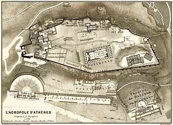
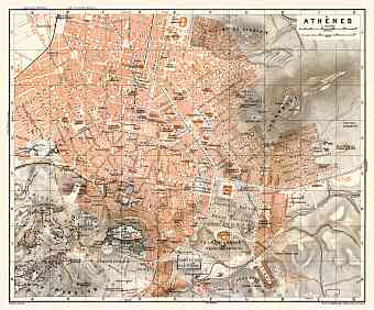
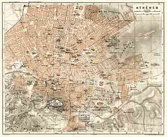
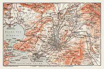
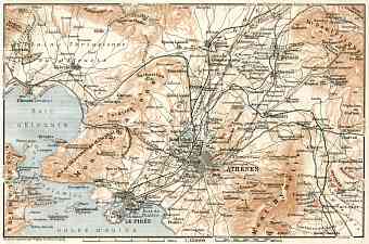
Vintage old maps and prints of Athens reflect the modern history of this one of the oldest cities of the world. It is the largest city and capital of Greece dominating the Attica region. Historical maps of Athens feature the modern city’s centre, which is mostly adorned with the remnants of the classical era like archaic work of arts and ancient monuments and the most famous among them being the Parthenon, a landmark of early civilization. The city is cradled on the central plain of Attica region commonly referred to as Attica Basin or Athens. It is surrounded by four gigantic mountains- mount Parnitha to the north, Aegaleo to the west, Hymettus to the east and Penteli to the north east. Mount Parnitha is the tallest among the four. Beyond Aegalio is the Thriasian plain which forms the western extersion of the central plain. Towards the southwest lies the Saronic Gulf. The city of Athens is also characteristic of many significant hills. Lycabettus is the tallest hill out of the many tall hills. Three major historical rivers run through the city- Cephissus River, Eridanos and Ilisos stream.

