Barcelona in Spain: Historical Vintage Map Prints and Pictures
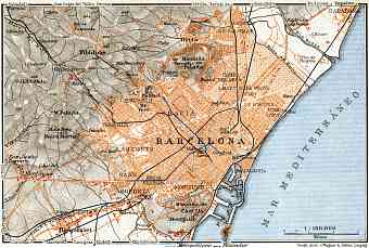
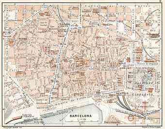
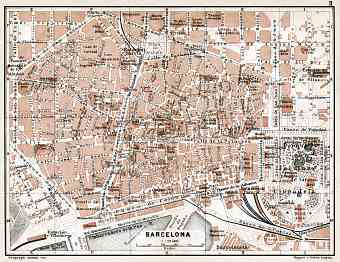
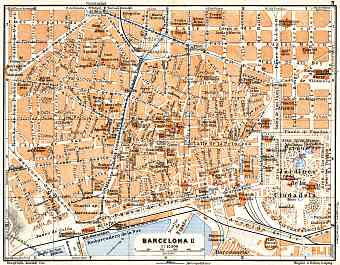
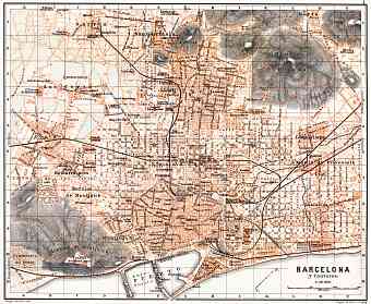
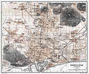
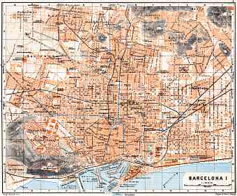
Vintage maps of Barcelona depict the modern history of urban development of the second largest city of Spain and the capital of Catalonia, nowadays being the Spain’s autonomous community. The old maps show the basic characteristic features of this city at the break of the 19th and 20th centuries. The Exposición Universal de Barcelona of 1888 made a boost to expanding the city area, leading to it’s further becoming the largest metropolis on the Mediterranean. The city is situated in the northeast side of the Iberian Peninsula that faces the Mediterranean Sea and lies between the rivers Besos and Llobregat. To the west lies the Serra de Collserola mountain range with its highest peak being 512 meters. During the time of Spanish Civil War 1939 Barcelona was a republic city and despite the damages inflicted Barcelona recovered slowly yet steadily. The seaport city is a center of trade, commerce, art, science, entertainment, sports, fashion etc. so is one of the busiest European ports.

