City and Town Maps [42]
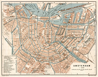
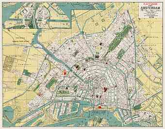
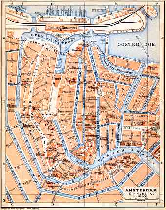
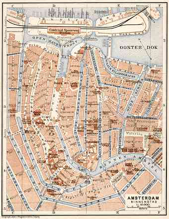
Amsterdam [9]
Haarlem [2]
Hague (Den Haag, 's-Gravenhage) [4]
Region and Overview Maps [4]
Netherlands: old map prints, fine replica pictures to download or use in the field with GPS
The Kingdom of Netherlands is a small dense country in the western part of Europe also comprising the three islands of the Caribbean. In Europe it borders with Germany, Belgium, United Kingdom and the North Sea. The country is believed to be formed by estuaries of three large rivers in Europe namely- Rhine, Meuse and Scheldt. Vintage maps of the Netherlands in this section feature modern history of the country, including its regions, cities and towns as they looked like in the 1880s, 1890s, 1900s, 1910s and shortly after the World War I, as well as noticeable stages of its land area growth. Literally Netherlands means a ‘’low country’’ where quarter of the land is below sea level and 50% is only one meter above sea level. Since the 16th century polders have been reclaimed from the sea and lakes accounting to the addition of land area through drainage systems like canals, the famous dikes and pumping stations. The highest point of the flatland is only 322 meters above sea level located on the south east side of the country in Limburg province. The 1900 Collection offers vintage old map reproduction prints, high resolution map pictures for download and and navigable GPS-enabled historical travel items for PDF Maps mobile application

