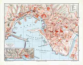
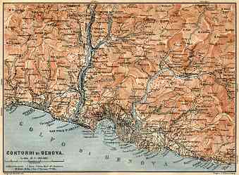
Genoa (Genova) in Italy: Historical Vintage Map Prints and Pictures
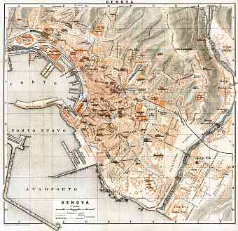
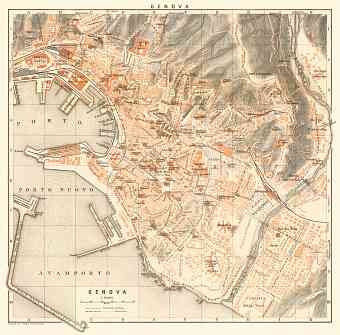
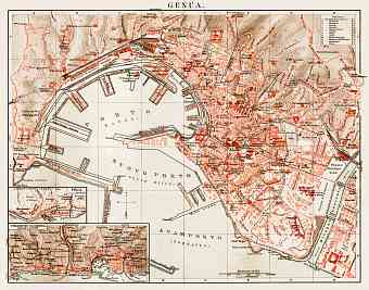
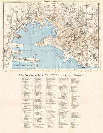
Genua, as it is designated on most historical maps that can be found here, is the archaic name for Genoa, a city that marks to be the sixth largest Italian city and the capital of Liguria. Vintage maps of Genoa that most date back to early 20 Century already witness it being the largest seaport of Italy and one of Europe’s largest cities on the Mediterranean. The city founds itself located between the Ligurian Sea and the Apennine Mountains. It is territorially divided into five main zones- the east, the west, the center, the Polcevera and the Bisagno valley. The city as a whole in thoroughly developed with railways, highways and mass transit including modern tramway. Older section of Genua lies inland from the main port and is filled with buildings from the medieval era and Renaissance. Genoa is adjacent to the two popular Ligurian holiday destination, Camogli and Portofino. The famous Aveto Natural Regional Park lies in the metropolitan region of the city

