City and Town Maps [41]
Karlsbad (Karlový Vary) [6]
Prague (Praha) [13]
Region and Overview Maps [25]
Czech Republic: old map prints, fine replica pictures to download or use in the field with GPS
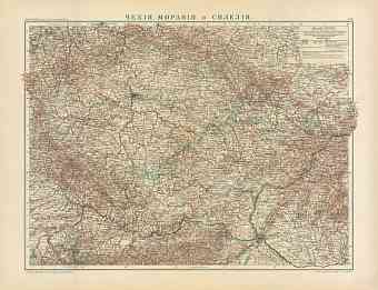
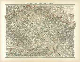
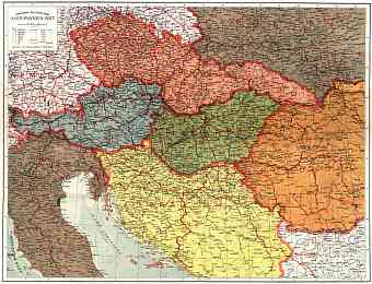
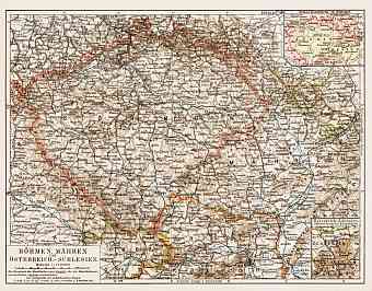
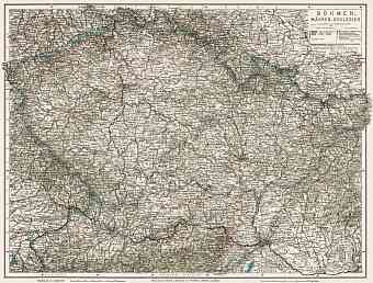
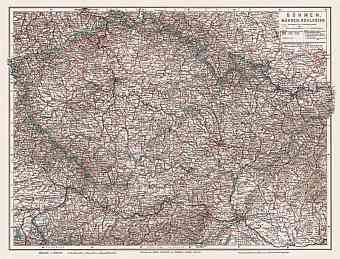
Republic of Czechoslovakia was established after the collapse of the Austro-Hungarian Empire in 1918. Old vintage maps here mostly date back to earlier time and display the lands called then Bohemia and Moravia including detailed historical maps of modern Czech cities and towns. The modern landlocked independent Czech Republic appeared on the map of Europe only in 1993; it shares its borders with Austria to the south, Germany to the west, Poland to the northeast and Slovakia to the southeast. Both Bohemia and Moravia toponyms retain as historical territory names within the state, referring to correspondingly west and east of Czechia. Bohemia consists of river basin drained by Vltava and Elbe rivers and surrounded by low mountains. The highest point of the country is on this Bohemia region called Sněžka at 1,602 meters. Moravia is also mostly hilly and the area is drained mainly by the Morava River. The country covers an area of approximately 78,500 square kilometers. Central European landscape consists of mainly Bohemian Massif that rises to an elevation of 3,000 ft above sea level. Water bodies of the land flows to the three prominent seas- Baltic Sea, Black Sea and North Sea

