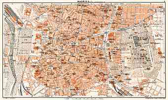
Madrid in Spain: Historical Vintage Map Prints and Pictures
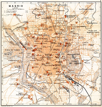
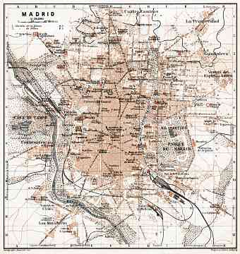
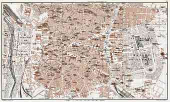
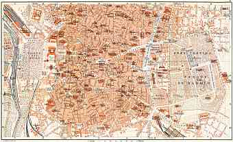
Find and order here historical old maps of the city of Madrid, the largest metropolis and the capital of Spain and Madrid Provincia, cradled in the heart of Spain on the Manzanares River. As can be discovered from vintage maps of Madrid, the metropolis faced to significant urban structure changes during the first decades of the 20th Century. For example, its maps witness growing subterranean metro network replacing the tramways. Madrid lacks certain remarkable characteristics that other European capital cities possess and does not boast natural resources yet the city is rich with ecology and diversity. The average altitude of the city is 650m and its mountainous region consists of peaks above 2000m with Penalara being the highest mountain in Madrid. The 1900 Collection focuses on reproduction poster prints of aged maps, high-resolution carographic pictures for download and GPS-enabled navigable historical travel items for PDF Maps mobile application (iOs and Android)

