Hamburg in Germany: Historical Vintage Map Prints and Pictures
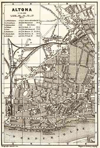
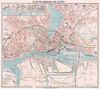
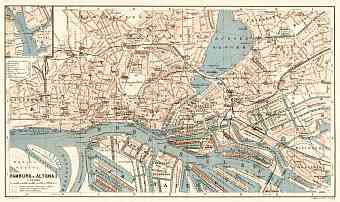
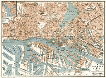
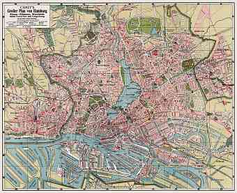
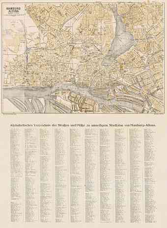
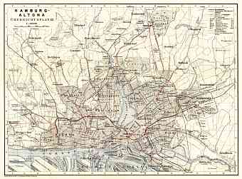
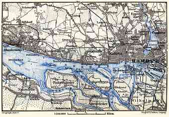
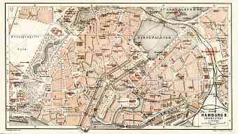
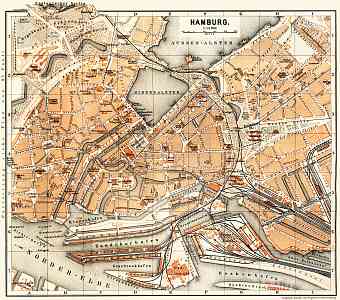
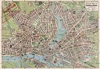
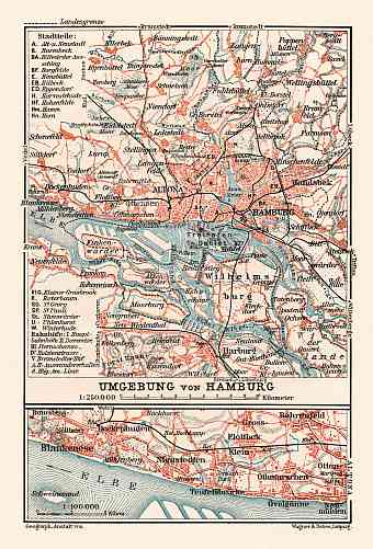
Get here old historical maps and plans of Hamburg and its vicinities (including Altona, Harburg, etc.). The Free and Hanseatic city of Hamburg is the second largest metropolis in Germany occupying an area of 755 km2. It is situated on the north of the Germany at the head of Elbe River and at the southern side of the Jutland Peninsula, laying in fact between Scandinavia to the north and Continental Europe to the south with Baltic Sea to its north east side and North Sea to the west. At the precise location on the River Elbe marks a confluence of Alster and Bille. The city proper is around the inner and outer Alster formed by damming the river to create lakes. Small islands that are close by are also a part of the Hamburg urban area. Coastal location of Hamburg dominated over its street pattern over centuries, which can be followed on its vintage maps available in this section. Hasselbrack is Hamburg’s highest point with an elevation of 116.2 meters

