City and Town Maps [51]
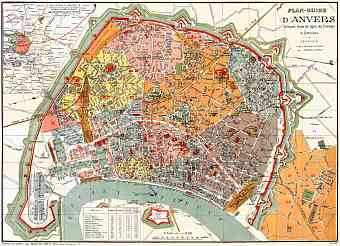
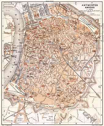
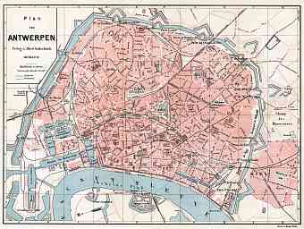
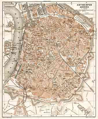
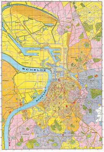
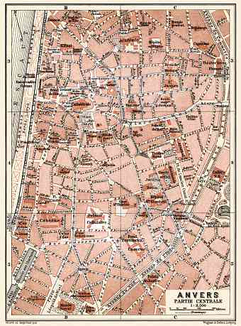
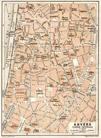
Antwerp (Antwerpen, Anvers) [7]
Bruges (Brugge) [4]
Brussels (Bruxelles, Brussel) [10]
Ghent (Gent, Gand) [5]
Liège [3]
Namur [3]
Ostende (Oostende) [5]
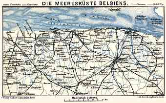
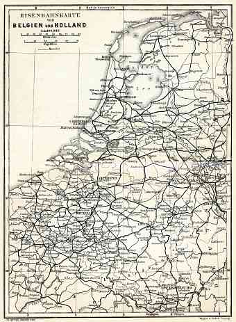
Region and Overview Maps [14]
Belgium: old map prints, fine replica pictures to download or use in the field with GPS
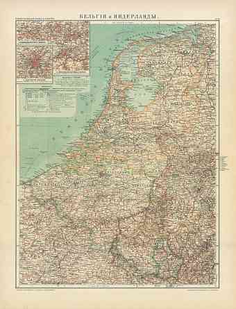
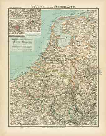
The old maps of Belgium deal in detail with modern history (break of the 19th and 20th Centuries) of this federal state situated in the western side of Europe bordering the North Sea. Netherlands lie to the north, Germany and Luxembourg to the south and France to the south and the west of Belgium. Vintage maps of Belgium outwardly display geography of this country that historically possesses an area of approximately 30,500 square kilometers and is mainly divided into three Geographic areas: altitude up to 100 m above sea level- lower Belgium, altitude about 100-200 m above sea level- Central Belgium and altitude over 200 m above sea level- upper Belgium. Three geographic regions are the Anglo Belgian Basin, Ardennes uplands which are a part of Hercynian orogenic belt and Belgian Lorraine which is the southernmost tip of Paris Basin. Germany invaded Belgium during the First World War and so in the treaty of Versailles Germany had to give up the areas of Malmedy, Eupen, Moresnet to Belgium. During the Second World War the Nazi Germany broke riots and differences in the country and many provincial states demanded independence. The 1900 Collection offers vintage old map reproduction prints, high resolution map pictures for download and and navigable GPS-enabled historical travel items for PDF Maps mobile application

