Romania: old map prints, fine replica pictures to download or use in the field with GPS
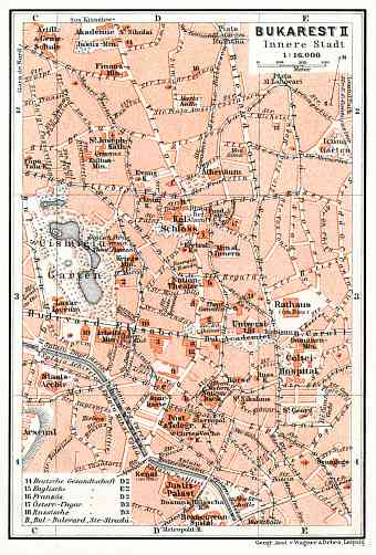
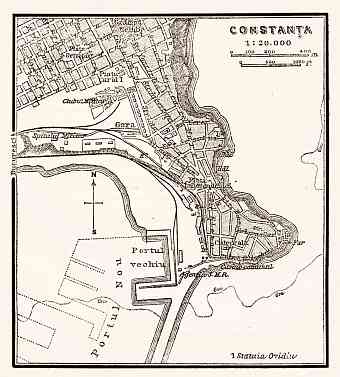
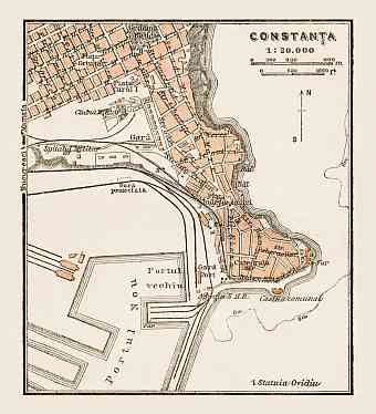
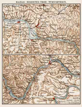
This section contains historical vintage maps of Romania located on the north of Balkan Peninsula and west of Black Sea in the southeastern central Europe with the largest city of Bucharest as its capital. Get here vintage old map reproduction prints of entire Romania and its provinces, high resolution map pictures for download and and navigable GPS-enabled Romanian historical travel items. The country is in fact the ancient Roman province of Dacia merged with the principalities of Moldavia and Wallachia. It has a total approximate area 238,400 square kilometers and so is the twelfth largest country in Europe. Lying halfway between the North Pole and equator and equidistant from the Atlantic Coast to the west and Ural Mountains to the east it borders with Bulgaria, Hungary, Serbia, Moldova and Ukraine. The topography consists of plains, hills and mountains. The Carpathian Mountains is the most prominent range and its highest point is the Moldoveanu Peak and is surrounded by the Moldavian and Transylvania plateaus and Wallachian and Pannonian plains. The river Danube forms a considerable part of the border with Serbia and Bulgaria forming the Danube Delta with the Black Sea

