City and Town Maps [102]
Kaliningrad (Калининград, Königsberg) [4]
Moscow (Москва, Moskva) [12]
Saint Petersburg (Санкт-Петербург) [44]
Vyborg (Выборг, Viipuri) [9]
Region and Overview Maps [558]
Karelia and Karelian Isthmus [506]
Russia: old map prints, fine replica pictures to download or use in the field with GPS
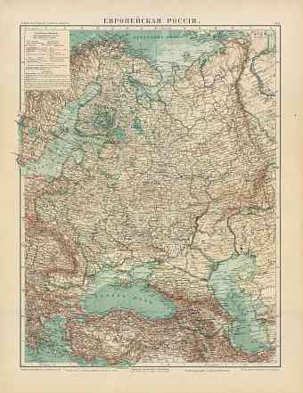
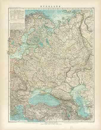
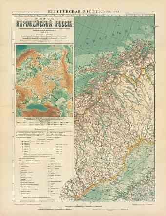
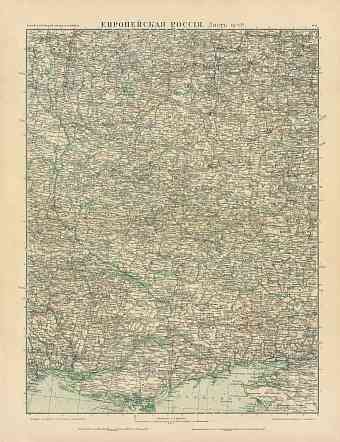
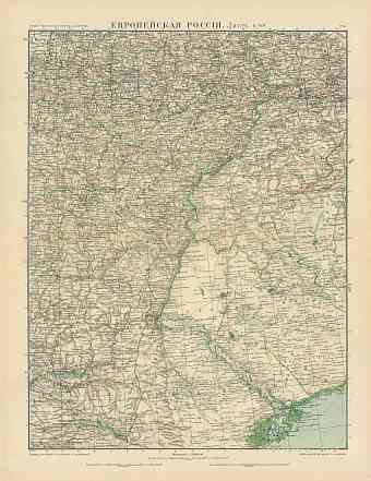
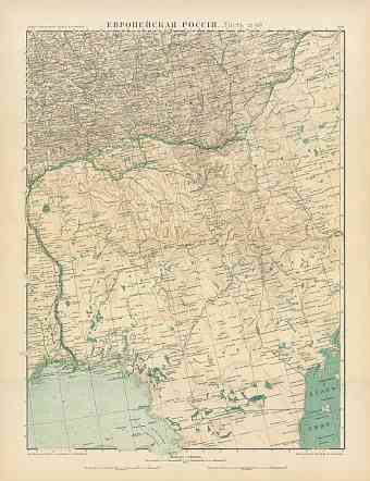
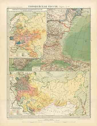
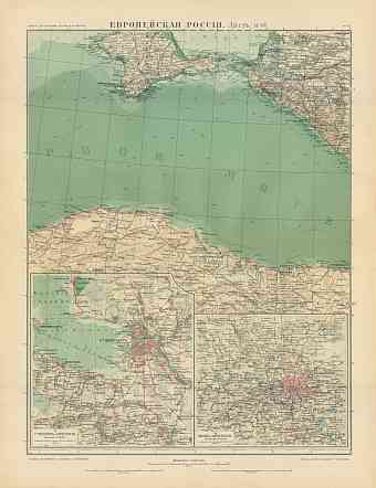
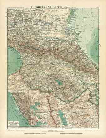
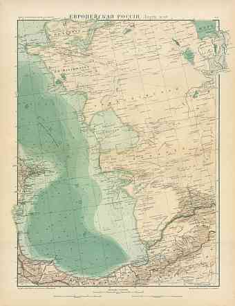
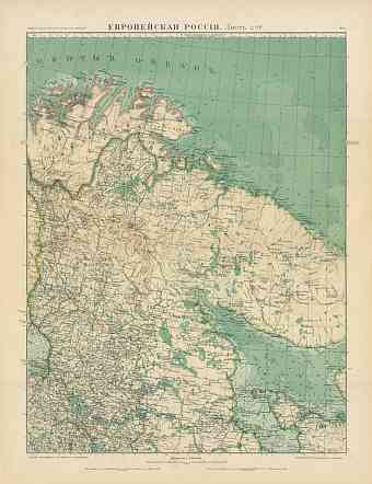
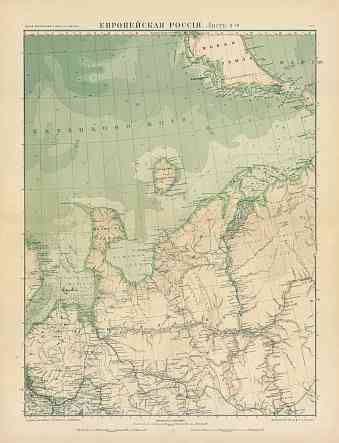
Vintage maps of Russia show stages of modern history of this largest country in the world with an area of approximately 17,075,400 square kilometers comprising territories of Eastern Europe and northern Asia. Order here vintage old map reproduction prints, high resolution old Russia's map pictures for download and GPS-enabled historical travel items for mobile navigation. The territorial expansion of this area dominant country, stretching from the Baltic Sea in the west to the Pacific in the east and Arctic Ocean in the north to Caucasus and Black Sea in the south, began during the late 16th century. Russia is neighbored by countries like Norway, China, Finland, Mongolia, North Korea, Georgia, Kazakhstan, Lithonia, Belarus, Azerbaijan, Ukraine, Poland, Latvia and Estonia. The coastlines extend to the Pacific and Arctic oceans and the region consists of number of great lakes like Baikal, Onega and Ladoga. Mountains are a characteristic feature of the Russian geography especially the western and the southern part. Ural Mountains are the dividing border line between Europe and Asia. Mount Elbrus is the highest peak of Russia and Kamchatka range is known for its volcanic activities

