Paris and Environs in France: Historical Vintage Map Prints and Pictures
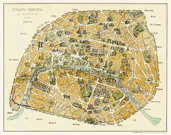
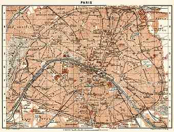
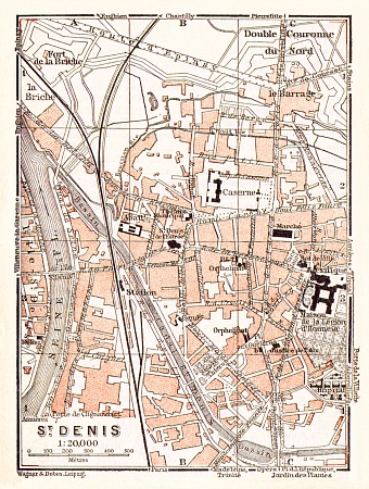
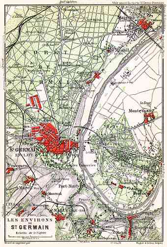
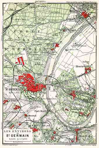
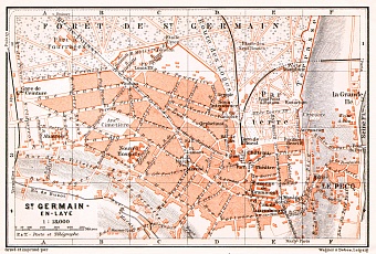
This section contains historical vintage maps and plans of Paris, its suburbs (banlieue de Paris) and towns located in vicinities of Paris, situated itself magnificently on the Seine River in the north-bending arc of France. The city of Paris covers a surface area of just 105 km² including the two historic islands (Île Saint-Louis and Île de la Cité, constituting the oldest part of the city) and occupies both banks of the River Seine, which divides it into two equal halves. The right northern bank is the center of commerce and fashion with century old buildings of magnificent architecture. The western left bank is the home to the legendary Eiffel Tower and other great landmarks. Montmartre (130m) is the highest point of the city, considering Paris in general relatively flat and just above the sea level. It is the most populous city in France, its capital and the capital of Île de France region, with administration unchanged since 1860. We offer re-mastered old maps of Paris and its suburbs as fine poster prints and high-resolution pictures for download and unique historic GPS navigation experience

