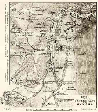
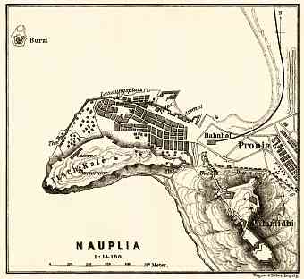
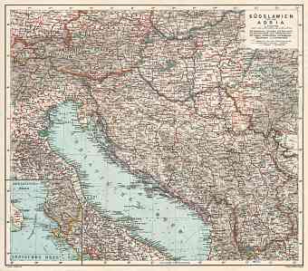
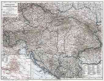
Greece: old map prints, fine replica pictures to download or use in the field with GPS
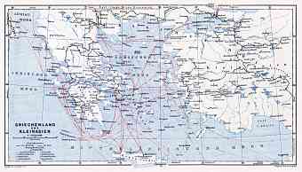
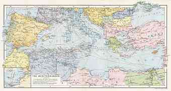
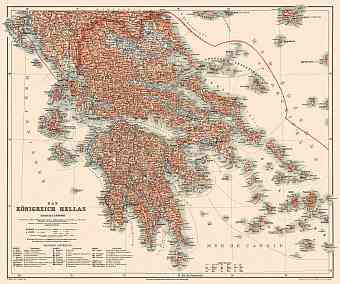
Greece with an area of around 132,000 square kilometers is located in Southern Europe at the end of Balkan Peninsula at the crossroads of Europe, Africa and Asia. It shares its borders with Bulgaria, Albania and Republic of Macedonia to the north, to the east lays the Aegean Sea and Turkey, to the west is the Ionian Sea and to the south is the Mediterranean Sea. Historical old maps of Greece here show it smaller than nowadays, with more territories still belonging to the Ottoman Empire. The magnificent ancient country forms an irregular shaped peninsula on the Mediterranean with two large peninsulas projecting from it namely the Peloponnese and the Chalcidice. Major part of the country is a mountainous region, perhaps it is one of the most mountainous countries in Europe. A historic chain of mountains known as the Pindus extends from northwest to southeast part of the Peloponnese. The highest point is the Mount Olympus at an altitude of 9,570 ft. The Rhodope Mountains act as a border between Bulgaria and Greece. The country experiences a considerable climatic variation affected by physical factors. Three main type of climate experienced are- Mediterranean, Alpine and Temperate climate

