Austria: old map prints, fine replica pictures to download or use in the field with GPS
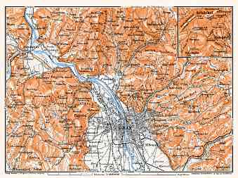
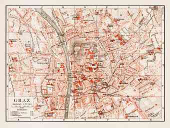
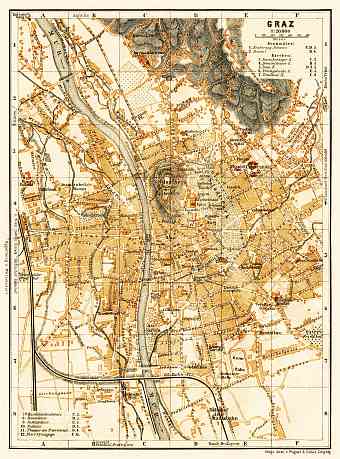
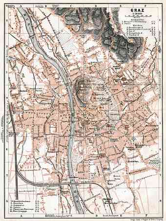
Historical heritage maps of Austria show this small land locked mountainous modern country of Austria in central Europe surrounded by Germany, Slovakia and Czech Republic to the north, Switzerland to the west, Hungary to the east and Italy and Slovenia to the south. Austria became a republic in 1920; vintage old maps in this collection date back to late 19 C and early 20 C and show it as the heart of once mighty dual monarchy Austro-Hungarian Empire once dominating over the central Europe. It had been the age when most of the dense network of nowadays ÖBB had been formed that is witnessed by numerous old railway maps of Austria and its parts in detail, which are available here. The dominating landscape of the country is the mountainous Alps, which became extremely popular with international tourists at the end of the 19th Century that became a ground for publishing numerous maps of Alpine regions. Their ridges are followed by the Pannonian Plains to the east and towards the north of the Danube River is the Böhmerwald which is a granite mountain range, older and lower than the Alps.

