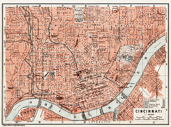
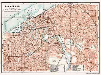
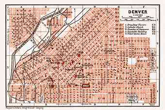
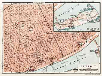
United States of America: old map prints, fine replica pictures to download or use in the field with GPS
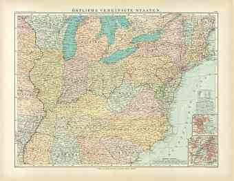
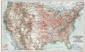
Vintage old maps of the United States of America, its regions and towns, are all professionally restored and made available here as fine poster prints of various sizes, hi-res map pictures for download and GPS-enabled historical navigable travel items illustrating the modern history of the USA through the early 20. Century. Since 1912, when the State of Arizona joined the union, it covers an area of approximately 7,663,900 square kilometers that makes it the third largest country in the world, consisting of 50 unified states and federal districts. The USA has land borders with Mexico and Canada and shares its maritime borders with Cuba (a dependency of the USA in 1898-1934), Russia and the Bahamas. It has a number of territories in the Caribbean and Pacific. 4 out of the 5 Great Lakes form a part of the border with Canada. The Mississippi-Missouri river system that runs in the heart of the country is the fourth largest river system of the world. Variety of landscapes includes the Great fertile plains, the Rocky Mountains, Great Basin and the deserts. The country’s highest peak is Mount McKinley in Alaska

