London in Great Britain: Historical Vintage Map Prints and Pictures
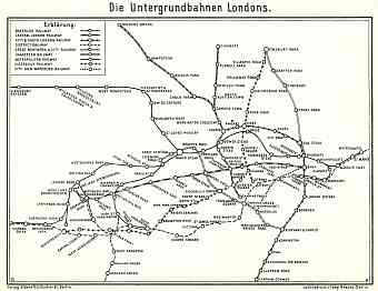
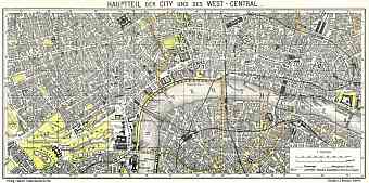
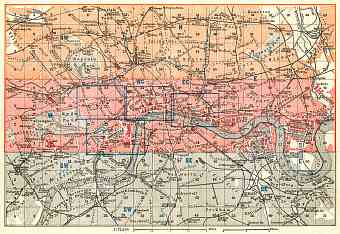
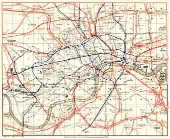
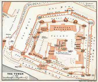
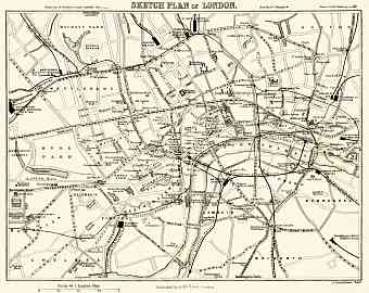
London city founded by the Romans is the capital of England and United Kingdom. Historical old maps in this section show London of the late 19th
and early 20th
Centuries, with the commercial harbor and rapidly developing railway hub both giving vital presence of integral parts to the city’s development. London covers an area of about 1,600km2
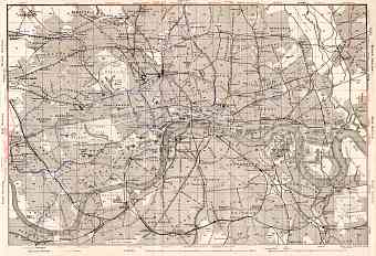
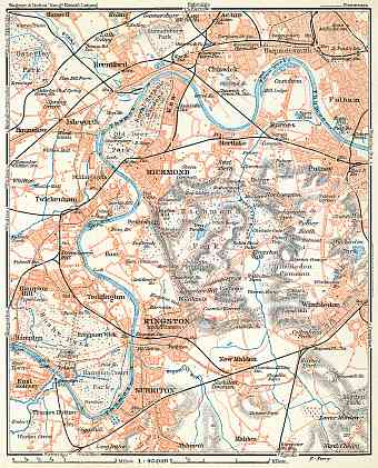
with enormous population and ethnic diversity following the economic success during the late 1800s. The river Thames is the largest river of London; as the modern and vintage maps show it flows from the west to the east across the London Basin and numerous rivers join Thames from the city interior. During the early 19th
century Canals were constructed for the benefit of transportation and traffic. Major part of the city core is situated on the London Basin, as can be viewed in the historical maps, and only a handful of the territory lies on the back slope of the North Downs. The inside of the London Basin is dominated by the valley of Thames. Besides the three prominent hills of the city namely; Corn Hill, Ludgate Hill and Tower Hill most of the central London is flat

