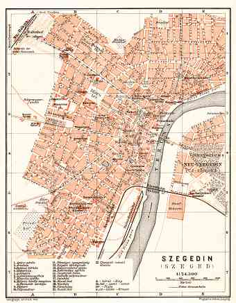
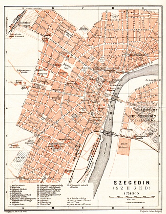
Hungary: old map prints, fine replica pictures to download or use in the field with GPS
Get here historical old maps of Hungary, a landlocked country located in Carpathian Basin of Central Europe with a land area of approximately 93,000 square kilometers, currently sharing its borders with Austria, Croatia, Serbia, Slovenia, Slovakia, Romania and Ukraine. Once a part of the mighty dual Austro-Hungarian monarchy, after the end of the First World War it lost 70% of its territories, which can be seen now as Hungarian on its vintage maps only. The borders were set in accordance to the Treaty of Trianon signed in 1920. The devastated country suffered immensely during the Second World War as it had joined the side of the Axis Power. The country has a comparatively few elevations, the highest point being Kékes in the Matra Mountains of Budapest with an elevation of 1,014 m and the lowest being 77.6 m above sea level. The two major rivers on the fertile plain of Hungary are Danube and Tisza. Three major lakes (Balaton, artificial Tisza and Fertő) also characterize the country’s landmark


