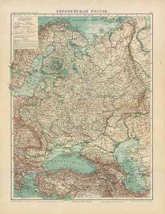
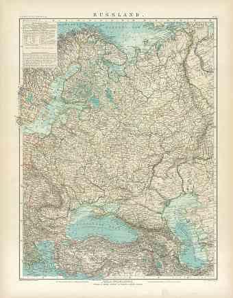
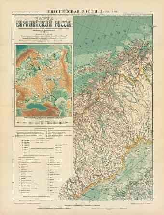
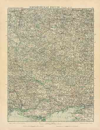
The Russian Empire, last decades (before 1917). Historical Maps and Plans
Having once three continents of the world map under its wings but now imaginable only with assistance of historical old maps, the Russian Empire was the largest empire the world had ever known with an approximate area of 22,400,000 square kilometres. British and once the Mongols were the only ones who could surpass its massive landmass. The empire is also known for its glorious victory in crushing Napoleon’s ambition to control the whole of Europe and instead expanding the empire to the west and south. The Ottoman Empire protected by the British was its ardent rival.
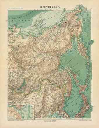
The islands in the north of the country all belonged to the empire except for Kara Sea entitled to Siberia. In the east it wielded authority to its Asiatic territories including Siberia and Kyrgyz steppes which were both separated by the magnificent Ural Mountains, Ural River and the Caspian Sea. As seen on the maps, towards the south it had Black Sea and Caucasus separated by the Manych depression which once connected the Sea of Azov with Caspian. The western boundary was a conventional one running the peninsula of Kola to the Gulf of Bothnia and then extending to the southern Baltic region and then taking a sudden turn towards Poland and separating Russia from Prussia and Austrian Galicia and Romania. Prior to 1917 and the formation of the modern day Russia, the empire included Ukraine, Finland, Belarus, Armenia, Moldova, Georgia, Azerbaijan, the central states of Asia, Poland and former northeastern part of Ottoman Empire.
The peculiar feature of the empire was that it had very few outlets to the open sea. The empire established its capital (Sant Petersburg) at the mouth of Neva. Caspian Sea was an important link of intercourse and exchange between Russia and its Asiatic settlements rather than for any other purpose. It contained the third largest population during that period, after Qing China and British Empire. The diversity and its conflicts were inevitable to an Empire as large as the Russian Empire. During the 1900s the empire was slowly beginning to industrialize from its heavily rural character. It was highly influenced by the Industrial Revolution. The absolute monarchy of the ‘’Tsar’’ survived for centuries until the outbreak of the revolution in 1905 which turned towards constitutional monarchy.
The defeat of the Russians in Russo-Japanese War in 1904-1905 caused a major blow to the Tsarist monarchy and accelerated the massive unrest in the Empire. The Eastern European policy of Tsar Alexander II to protect the orthodox Christians from the clutches of the Ottoman rule ultimately led to Russia’s entry in the World War I. Russia under Tsar Nicholas II entered war with patriotism and enthusiasm. They were able to invade Germany’s province of East Prussia and other lands but the control of the Baltic Sea and Black Sea by the Germans and Ottomans severely hampered Russia of foreign supplies and markets. The depression caused by the on-going war took its toll on Russia and nobody was spared from the hardship. Following the series of factory strikes by the workers in Saint Petersburg the Tsarist regime was exposed and unforgiven. The system was overthrown with the outbreak of the much anticipated liberal February Revolution in 1917 that actually put an end to once the vast empire.

