City and Town Maps [119]
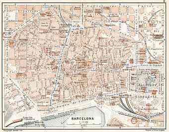
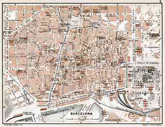
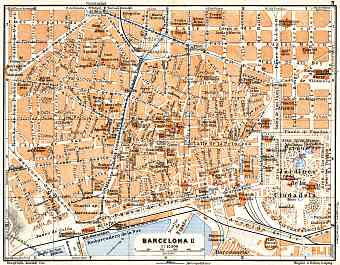
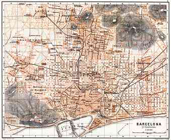
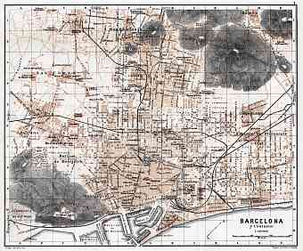
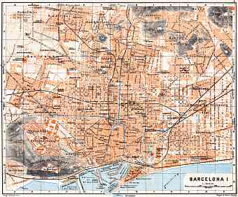
Barcelona [7]
Cadiz [6]
Canary Islands [3]
Córdoba [4]
Granada [4]
Madrid [5]
Málaga [4]
San Sebastián (Donostia) [4]
Segovia [4]
Sevilla [4]
Region and Overview Maps [23]
Canary Islands [1]
Spain: old map prints, fine replica pictures to download or use in the field with GPS
Historical vintage maps of Spain, its cities and districts, all carefully re-mastered, are available here as fine poster prints of various sizes, high resolution map pictures for download and GPS-enabled historical navigable travel items. The sovereign state of Spain is located in southwestern Europe on the Iberian Peninsula bordering coastlines of both Atlantic and Mediterranean. The total area of Spain is approximately 504,000 square kilometers; it shares the longest uninterrupted border in the European Union with Portugal. Besides Portugal the country shares its border with France, Andorra, Morocco, Gibraltar, Bay of Biscay, Mediterranean and Atlantic Ocean. Spain being the oldest colonial empire it is of no surprise that Spanish territories include a number of extended islands and exclaves. Madrid is the largest and the capital city of Spain. Ebro, Tajo and Guadalquivir are the three principal rivers in the northeast, central and south of Spain respectively. The highest peak of Spain is Mount Teide which is also the world’s third largest volcano

