Sweden: City and Town Maps. Old Antique Map Prints and Pictures
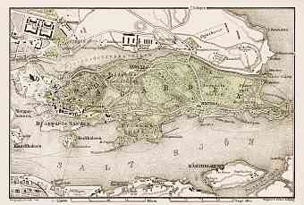
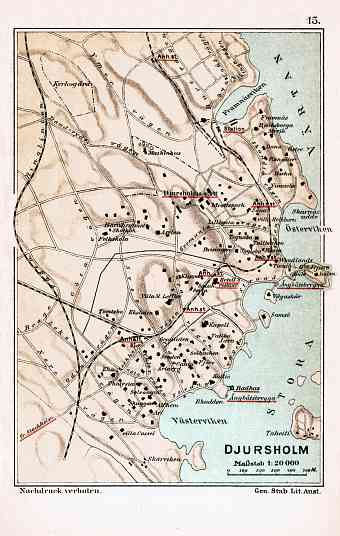
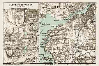
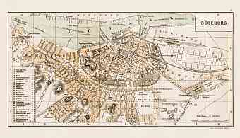
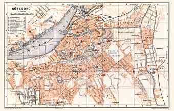
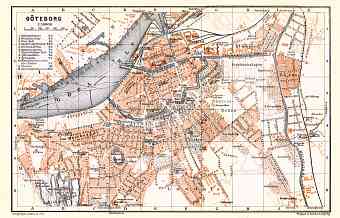
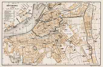
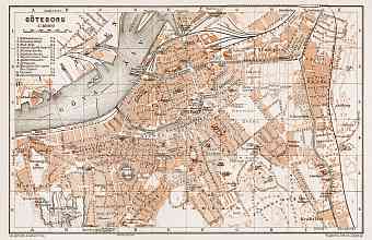
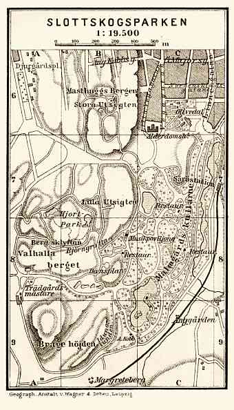
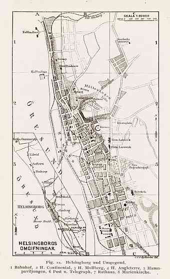
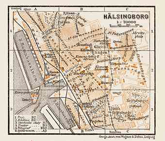
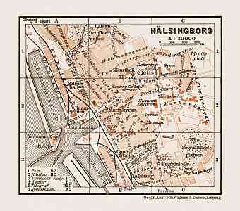
Historical plans and old maps of cities and towns in Sweden record the evolution of their urban development, infrastructure, transportation like railways, metros and tramways, change of street and district names of each metropolis or township in detail. Old antique maps and plans like these have been the principal sources for touring and getting driving directions across places in Sweden in these times. The site offers fine old historical map reproduction prints for a gift or home design, high resolution pictures for download and and navigable GPS-enabled historical travel items for PDF Maps mobile application

