Sweden: old map prints, fine replica pictures to download or use in the field with GPS
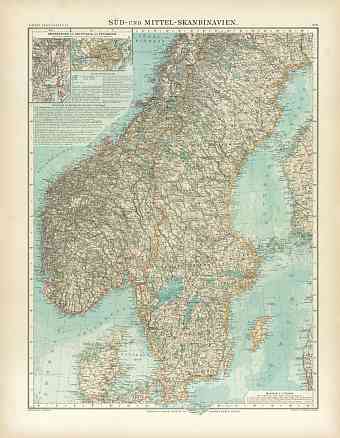
Historical vintage maps of the Scandinavian country of Sweden, its regions and towns are all professionally restored for physical integrity and made available here as fine poster prints of various sizes, high resolution map pictures for download and GPS-enabled historical navigable travel items. This Nordic country with 15% of the land in the Arctic Circle is located on the eastern part of the Scandinavian Peninsula and borders Norway, Finland, and Baltic Sea by land and Denmark by a tunnel across Øresund. The Swedish Empire was a great power during the 17th century. Current Sweden is the fourth largest country in the European Union; it has a total area of approximately 450,295 square kilometers and its capital is the renowned city of Stockholm. It shares its maritime borders with Germany, Russia, Poland, Latvia, Estonia, Denmark and Lithuania. Hills and Mountains are dominant in the west. The highest point of the country is Kebnekaise with an altitude of 2,111 m above sea level and the lowest point is in the bay of Lake Hammarsjön with -2.41 m below sea level

